
Clear AirSpace
A mobile navigation and planning app for pilots that provides real-time flight, weather, and airspace information to assist them before, during, and after the flight.
Quantity
Product Description
Scope of Application
Display of flight and weather information during a flight, during flight planning, and after the flight
Description
C-AS is a mobile application for iOS and Windows tablets that, when combined with an electronic “flight bag,” serves as a navigation aid for pilots.
This application supports many tasks required by pilots during a flight, during flight planning, and after the flight. The application is suitable for both pilots flying in IFR mode and those using VFR mode, regardless of whether an airplane or a helicopter is being used.
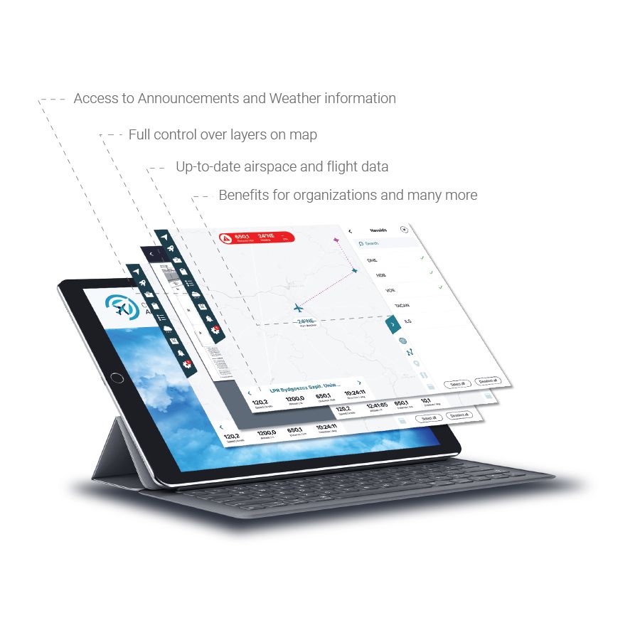
- Access to notifications and weather information
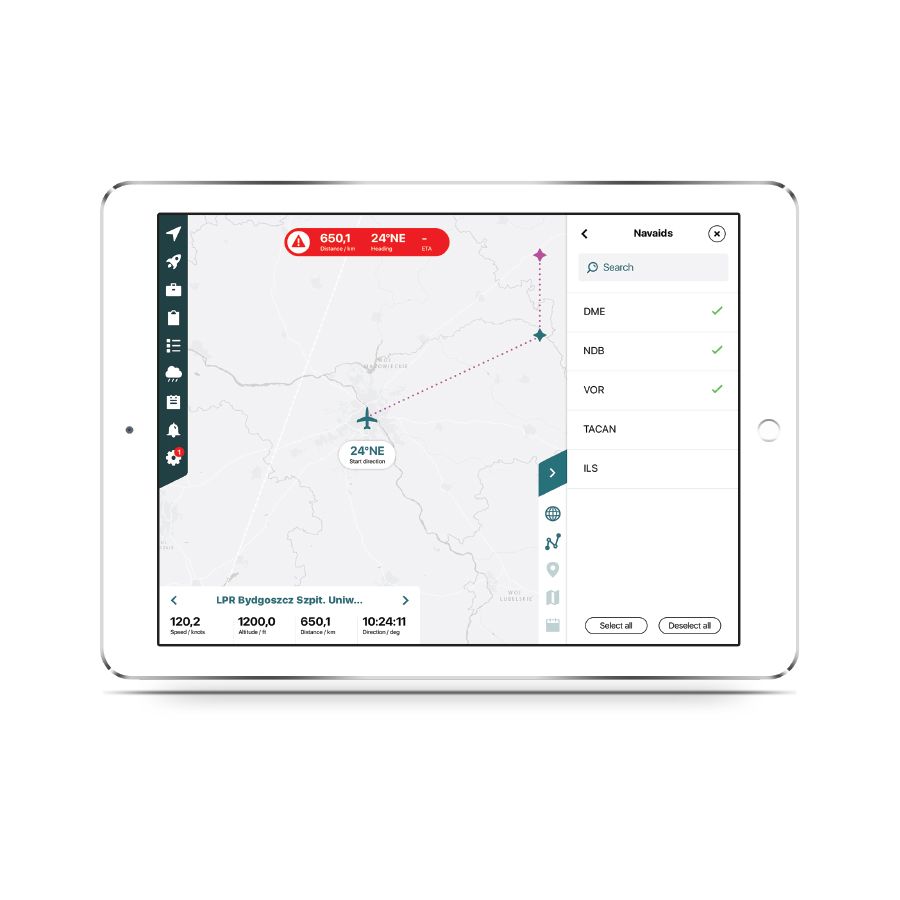
- Full control over map layers
- Up-to-date information on airspace and flight data
- Benefits for organizations, etc.
Key Features
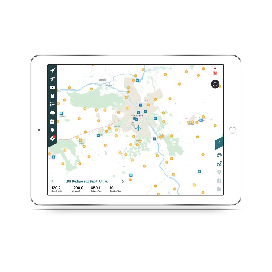
Visualization of all information required by pilots, such as: airspace, routes, airports, navigation points, navigation aids (NAVAID), and obstacles. The data is continuously synchronized with official databases such as Eurocontrol’s EAD.
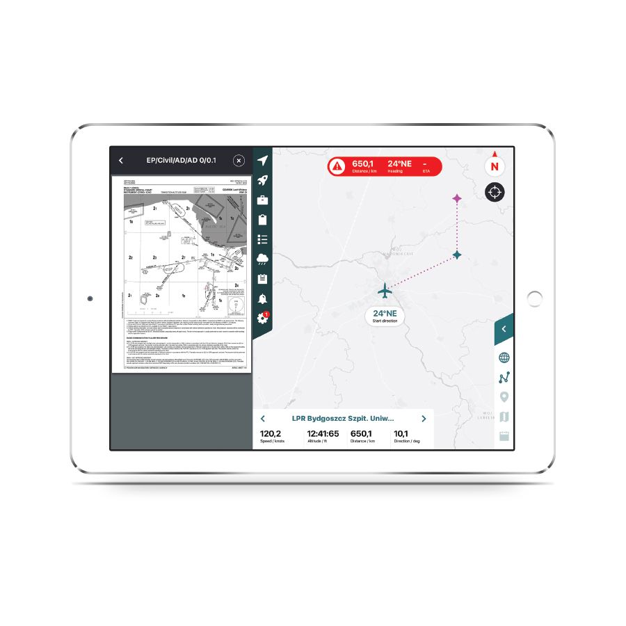
Access to European flight documentation, including:
- Airport charts and diagrams
- Taxi
- SID
- STAR
- Etc.
Access to flight operations notes, such as NOTAMs or weather information.
Plan your route, view your route in real time, and record your flight.
Receive warnings about approaching objects and airspace.
Benefits for Businesses
Add specialized databases and information
- Specialized and private airspaces, airports, routes, and landmarks
- User documentation
- Company documents
- Flight and aircraft manuals, as well as checklists
- Private notes and messages to all company pilots